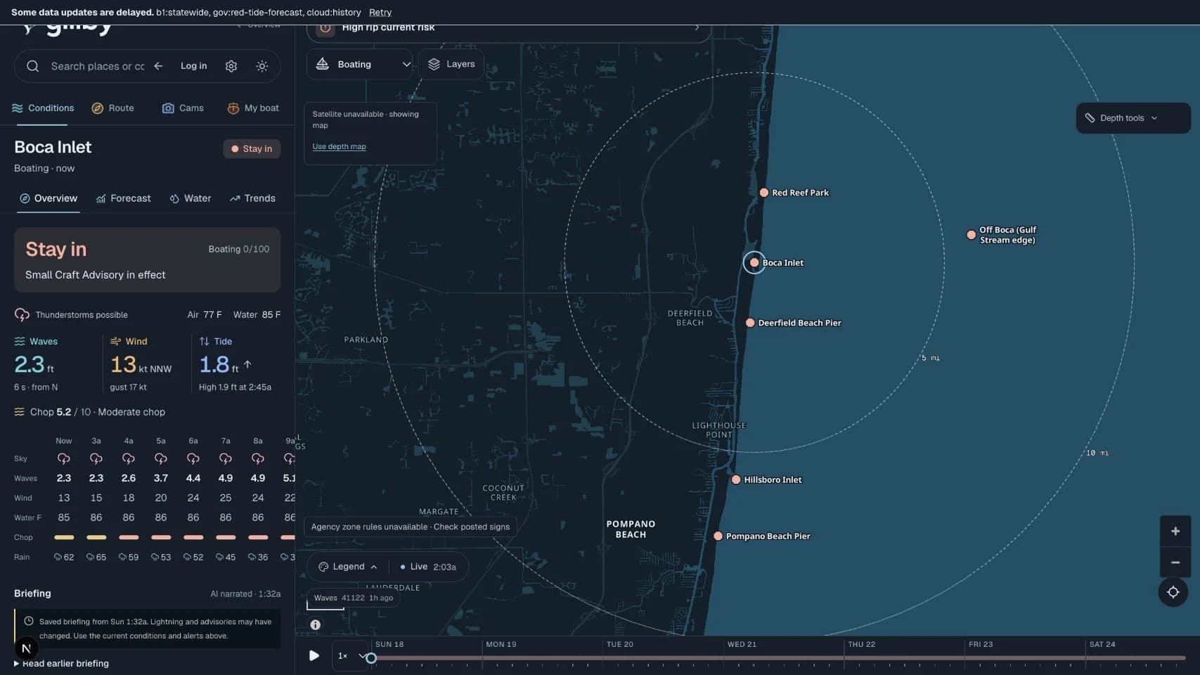
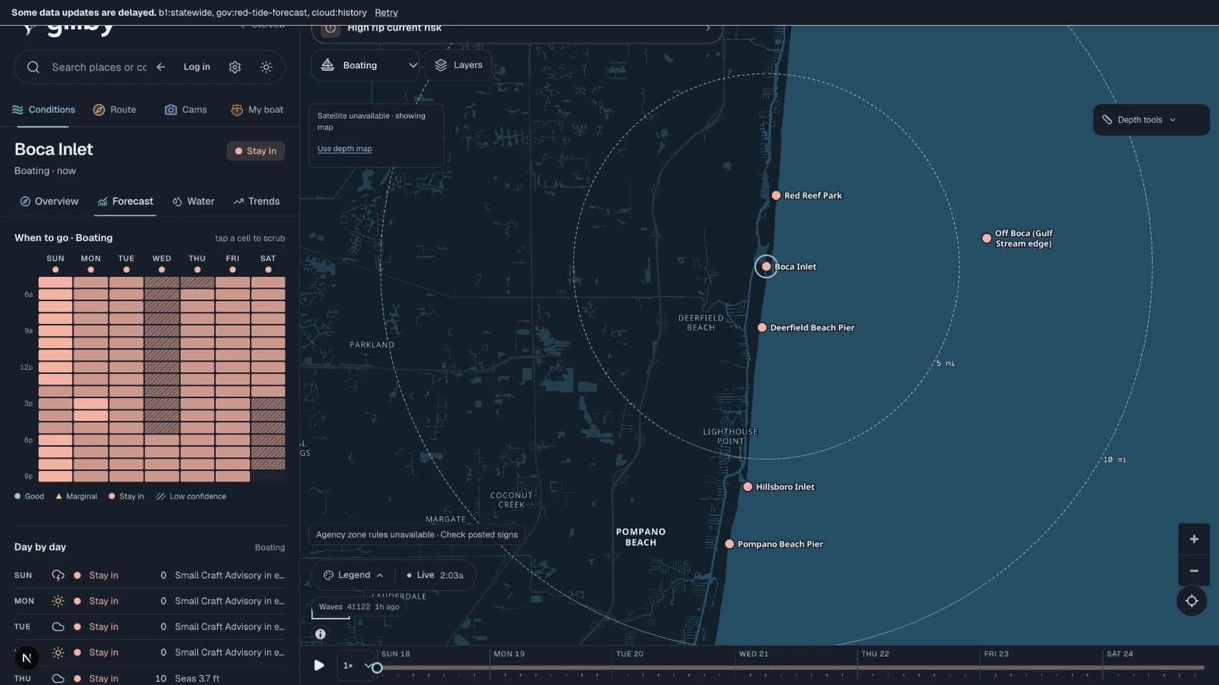
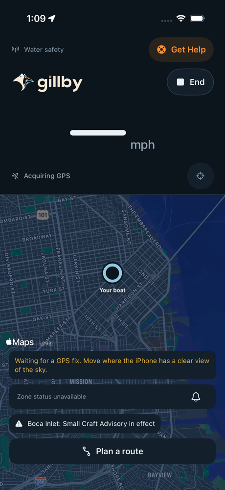
Actual app capture · October 18, 2026 · historical conditions
YOUR BOAT CHANGES THE PLAN
A course worth checking.
Put your boat’s draft, departure time and clearance margin into the route check. See the shallowest point, estimated time underway and reported restrictions before you commit to the day.
Plan your route Chart coverage and warnings stay attached to every result. Verify bridge openings and actual clearances separately.
WATCH THE SKY. PICK YOUR WINDOW.
The weather moves. See what’s coming.
Radar over the coast. Clouds from space. Rain and thunder through the hours ahead.
FLORIDA & THE KEYS
Florida, seen from space.NASA VIIRS true color · 2026-10-17 · dated daily imagery
Follow the radarCompare timestamped precipitation scans.
Check rain & thunderPlan around hourly forecast probabilities.
Include the windLook at gusts, direction and changing conditions.
Satellite preview: NASA Suomi NPP / VIIRS, via GIBS. Dated true-color imagery is separate from the app’s GOES infrared cloud layer. Radar is observed precipitation; it does not predict future storm positions.
THE DETAILS THAT MAKE IT YOURS
Your boat. Your people. Your kind of water.
More than checking the weather. Make Gillby part of how you plan, share and enjoy the day.
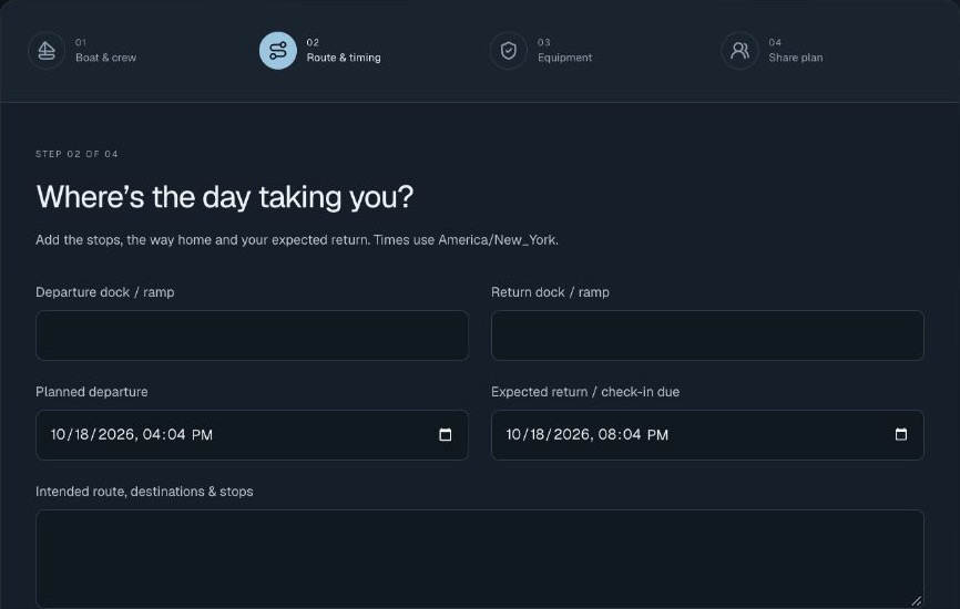
Float planWORKFLOW PREVIEW
A day on the water. Someone in the loop.
Your vessel & people aboardYour route & stopsDeparture & expected return
Share with trusted contactsThey acknowledge the planCheck in when you’re back
FLOAT PLANS & RETURN CHECK-INS
Leave more than “we’ll be back later.”
Put your boat, people aboard, itinerary, equipment and expected return in one private float plan. Share with trusted contacts, see their acknowledgment and record your safe return.
Make your float plan Check-ins and overdue status appear in Gillby. No push, SMS, email alerts or emergency dispatch.
YOUR BOAT → YOUR ICON
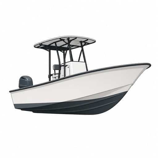
Actual generated example
PERSONAL BOAT ICON GENERATOR
That’s your boat. Make it look like it.
Upload 1–3 photos of your boat. Gillby creates a custom icon that keeps its shape and colors, then saves it to your private account for use across the app.
Create your boat icon Photos are sent to OpenAI to generate the icon. Only the generated icon is saved.
Find your friends on the water.
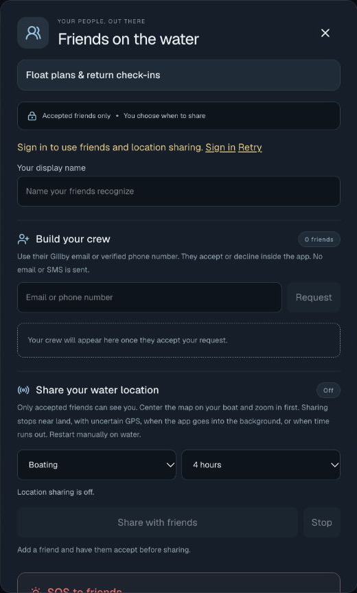
Send a friend request. Once accepted, choose when to share your water location and see friends on the map. You control when sharing starts and stops.
Opt-in, time-limited sharing. Web sharing stops in the background. Requests and friend SOS appear in Gillby.
Friends & location sharingActual app capture · signed-out state
Your friends. Your water.
Send a friend request using their Gillby email or verified phone number. Once accepted, choose when to share your water location and see friends on the map.
Sharing is opt-in and time-limited. Web sharing stops in the background. Requests appear in Gillby; no email or SMS is sent.
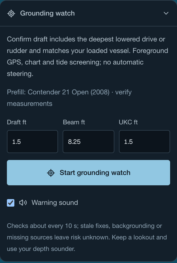
Grounding watchActual app capture · setup before tracking
Know what’s beneath you.
Explore depth shading and contours, check a route’s shallowest point and review tide-adjusted clearance for your boat. Opt into grounding watch for checks around your GPS position.
Checks depend on chart coverage, tides and usable GPS. Review the reported gaps and warnings.
Explore the actual Keys coastline and modeled depth shading. Zoom into Key West, Marathon or Islamorada, then work out the charted depth your boat would need below.
Red is below your chosen modeled-depth requirement. Green is just above the chosen requirement; light blue and navy indicate deeper modeled water. No color verifies safe passage. The example tide assumes a common datum; verify chart depth and local tide before navigating.
Loading real map and depth tiles…
Real coastline: OpenFreeMap / OpenStreetMap. Depth tiles: NOAA NCEI where available, with AWS Terrain Tiles fallback. Modeled depth is not a verified navigation chart; source resolution and vertical datum vary. Red marks modeled depths below the draft-plus-margin requirement after the example tide adjustment. This assumes a common vertical datum and does not establish passable water. Use route checks with reported chart coverage, local tides and your depth sounder.
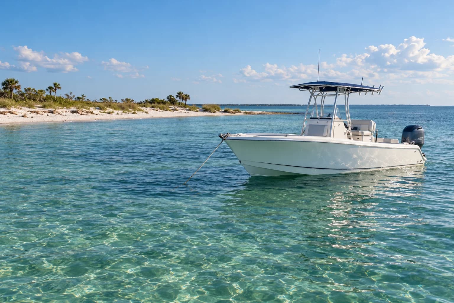
Gulf coast setting · AI-generated scene
THERE’S MORE TO THE DAY THAN WEATHER
Find your spot. And the stops along the way.
Dive spots. Boat ramps. Fuel docks. Somewhere to drop anchor. Explore the places and local details that turn an idea into a day out.
Reefs, dive spots, marinas and coastal places
Fuel stops, ramps and available activity reports
Dated shark and jellyfish observations, with sources
Wildlife records are observations, not live animal tracking. Activity reports depend on available coverage and freshness.
YOUR QUESTIONS. YOUR WAY OF ASKING.
Your water knowledge. In your AI workflow.
Ask Gillby in the app, or explore a connection to the assistant you use. Coastal tools bring forecasts, tides, places and source details into the conversation.
Connectors and plugins in major AI app directories are coming, subject to platform approval, so you can add Gillby directly there. Custom MCP setup is available now for compatible clients. Product logos identify their respective owners.
GILLBY, WHEREVER THE DAY TAKES YOU
In your pocket. On your wrist.
More ways to keep your water day close. Gillby for iPhone and Apple Watch is coming soon.
Higher water could affect your launch and low-lying docks. Check the tide forecast before heading out.
Your saved launch
Illustrated Lock Screen · example notification, not a live alert
NOTIFICATION CONCEPT
A HEADS-UP, BEFORE YOU HEAD OUT
High water. Right on your radar.
A glimpse at a king-tide heads-up from Gillby: a clear notification that points you back to the forecast for the places you care about.
The tide is part of the plan.
Check tide timing alongside your launch, dock and route before choosing when to go.
Explore tides in Gillby Design preview for the upcoming iPhone experience. King-tide notifications are a proposed feature; this mockup does not indicate a current warning or automatic alert service.
MEET THE CREATOR
Practical AI. For your life on the water.
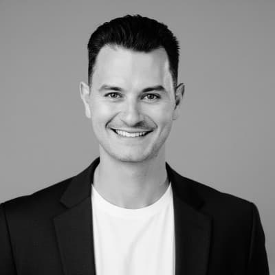
Gabriel Keding is Gillby’s founder and creator, and a co-founder of OneWave AI, a South Florida AI consultancy. His background spans SaaS sales leadership, cybersecurity and AI. At OneWave, he leads strategy and solution design.